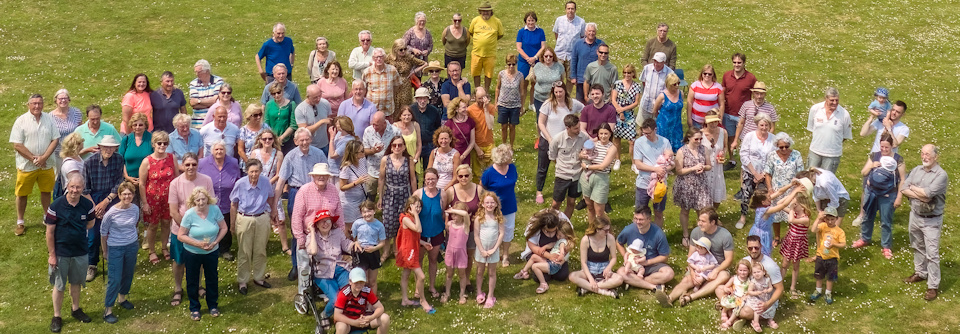
Yet another notification of a set of roadworks soon to be started. Believe it when you see it… Openreach (Rescheduled) activity which will impact travel. See below.
Church Road, Wreningham, Norfolk
Delays likely – Traffic control (Stop/Go boards)
Works location: Approx opposite Coach Depot on Church Road
Works description: TRAFFIC MANAGEMENT TO FACILITATE CABLING. TO ROD ROPE AND TEST, AND INSTALL APPROX 20M OF CABLE AND ANY ASSOCIATED BLOCKAGES IN EXISTING IN FW/CW/VERGE – SPINE ROUTE TO EXCHANGE
Responsibility for works: Openreach
Current status: Planned work about to start
Works reference: BC111WBGGKV0B003
Ashwellthorpe Road, Wreningham, Norfolk
Delays possible – Traffic control (Stop/Go boards)
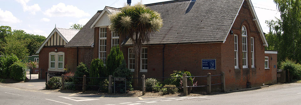
Works location: From junction of Mill Lane to approx outside Wreningham Primary School
Works description: FUNDENHALL V8008 – PON 730728 – FUNDENHALL SPINE SUB DUCT AND CABLING. TO ROD ROPE AND TEST, AND INSTALL APPROX M OF SUB DUCT AND CABLE AND ANY ASSOCIATED BLOCKAGES IN EXISTING IN F/W, C/W & VERGE – SPINE ROUTE TO EXCHANGE
Responsibility for works: Openreach
Current status: Planned work about to start
Works reference: BC111WBGGKV0B002
Mill Lane, Wreningham, Norfolk
Delays possible – Traffic control (Stop/Go boards)
Works location: From junction of Mill Lane to S/O Mill Corner Cottage
Works description: FUNDENHALL V8008 – PON 730728 – FUNDENHALL SPINE SUB DUCT AND CABLING. TO ROD ROPE AND TEST, AND INSTALL APPROX M OF SUB DUCT AND CABLE AND ANY ASSOCIATED BLOCKAGES IN EXISTING IN null – SPINE ROUTE TO EXCHANGE
Responsibility for works: Openreach
Current status: Planned work about to start
Works reference: BC111WBGGKV0B001
Wymondham Road, Wreningham, Norfolk
Delays possible – Traffic control (Stop/Go boards)
Works location: S/O The Larches on Wymondham Road
Works description: TRAFFIC MANAGEMENT TO FACILITATE CABLING. TO ROD ROPE AND TEST, AND INSTALL APPROX 20M OF CABLE AND ANY ASSOCIATED BLOCKAGES IN EXISTING IN FW/CW/VERGE – SPINE ROUTE TO EXCHANGE
Responsibility for works: Openreach
Current status: Planned work about to start
Works reference: BC111WBGGKV0B004