The manned barrier at Bridge Road/B1135 was removed on Saturday evening. The data below has been captured whilst a barrier was in operation.

As at 4pm on 12th August the SAM2 on Wymondham has provided the following information:

Summary for period 20 July to 15 August

Week commencing 20th July traffic volumes:

Week commencing 27 July traffic volumes (to Sunday 5pm)

Week commencing 3 August traffic volumes (to 5pm on 8th August)

Week commencing 10 August – data taken at 8pm on 15 August

From 9 August the barrier into Bridge Road from B1135 was removed. NCC Highways view is that after three weeks drivers will have been conditioned to avoid the route through Wreningham. Whilst during last week the trend has been about 250 per day, Wednesday 11 August shows an increase of some 50 vehicles. The AADT (Annual Average Daily Total) was 124 pre-road closures (see below), it is now 291, over double.

There is a 7.5 tonne axle weight limit on Bridge Road and part of Wymondham Road (to just past the Turkey factory). So large vehicles going through Wreningham on Wymondham Road will either have broken the limit or be about to break it. The advice we have been given is to inform them (Ben.hanlon@norfolk.gov.uk) and the police – with evidence if it is safe to collect it.

The final graph shows the number of vehicles for a set of speed bands. The speed limit is 30mph – not so for some! The police are making random visits to the village and have caught 1 vehicle speeding.

Baseline for Wymondham Rd

The SAM2 provided us with baseline data prior to the B1135 closure. It was positioned on Wymondham Road at 3pm on 9th July and directed to record traffic moving East from the bridge.

The summary for period 9th July to 19th July shows an AADT value of 124.


Our thanks go to the residents who have emailed NCC to share their concerns and dismay about their experiences on our village roads. Do continue to let Ben Hanlon know how you are being affected. This qualitative information about vehicles and driver behaviour is important for NCC & SNC to know and appreciate.

On the quantitative side, you may have spotted the SAM2 speed monitoring device on Wymondham Road. It captures the speed and volumes of traffic in one direction only i.e. traffic travelling East from the bridge. So what do we have so far? Bear in mind that prior to the 20th July the SAM2 data recorded an average of 124 vehicles per day. [For information we measured 95 per day travel in the Westerly direction]. A total of 1755 vehicles have been counted over the last three days:

It is a downward trend but is still very high for the narrow rural roads in our village.

Residents report that Jackson’s personnel are not taking an active role in managing the traffic turning into / out of Bridge Road at B1135 junction. This is contrary to what we were promised. As for the pass system which formed a key part of the promised traffic management at the junction. They are not being looked for. Even so, there are no more to be issued. Of the original 50 passes the remaining 25 passes have given to a lady upon her request – they have no idea who that person is.

NCC will be visiting the area on Thursday (tomorrow) to observe the roads, the signage and the traffic. We expect them to take action to improve the situation for this village.

REPORTING
Ben Hanlon of NCC is the contact point for all issues, concerns and complaints. You may wish to provide video / photographs to support your comments. When you contact him please copy Andrea and me.

CONTACTS

Ben Hanlon: ben.hanlon@norfolk.gov.uk; 0344 8008020

Andrea Tancred: misstancred@gmail.com

Michael Hill: wrendriff@gmail.com


We have received information from the campaign group and I have extracted the document relevant to this area.

For number of HGVs on roads near you, see page 10 onwards: click here.
For road closures & diversions, look for the blue dashed/dotted lines in the maps for your area.  
The information is in documents by section called, “2.5 Access, Rights of Way and Public Rights of Navigation Plans”:
Section A – Norwich to Roydon [See section A, sheets 3, 4 and 5 for an indication of the planning affecting the areas from Bracon Ash, Top Row, Flordon, Hapton]
[Other sections removed]
For the full document library, click here.   

To see what the pylons will look like, do ctrl-F in the document library and search for ‘Visualisations’. For detailed maps for your area, do ctrl-F and search Land Plans.
You can also search for Trees and Hedgerows to find the documents showing which will have to be removed.
From Rosie Pearson and the Essex Suffolk Norfolk Pylons team
Offshore better, faster, cheaper
Donations welcome:  Fundraising – Pylons East Anglia
07766 650208
pylons180@gmail.com

We just been informed that 22 September 2021 is “World Car Free Day” – more information here. A handy excuse for us is that South Norfolk Council (SNC) has been rather low-key about the event.

For Wreningham residents, many of whom rely on their car for their daily business, it could be a struggle to do more than acknowledge the date in the calendar. At such a late stage the Parish Council is unable to tackle the matter. But, if you have thoughts on what might be done to reduce dependency on cars, please contact your SNC councillors – see their contact details here.

If you venture into Norwich on Sunday 19th, it is possible that a number of streets will be closed to traffic, as Car Free events happen. Norwich City Council has encouraged people to apply for road closures and do something in a car-less manner with their streets. See their document here:


Yet another notification of a set of roadworks soon to be started. Believe it when you see it… Openreach (Rescheduled) activity which will impact travel. See below.

Church Road, Wreningham, Norfolk

Delays likely – Traffic control (Stop/Go boards)

Works location: Approx opposite Coach Depot on Church Road

Works description: TRAFFIC MANAGEMENT TO FACILITATE CABLING. TO ROD ROPE AND TEST, AND INSTALL APPROX 20M OF CABLE AND ANY ASSOCIATED BLOCKAGES IN EXISTING IN FW/CW/VERGE – SPINE ROUTE TO EXCHANGE

Responsibility for works: Openreach

Current status: Planned work about to start

Works reference: BC111WBGGKV0B003


Ashwellthorpe Road, Wreningham, Norfolk

Delays possible – Traffic control (Stop/Go boards)

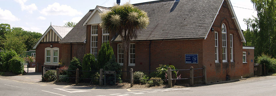
Works location: From junction of Mill Lane to approx outside Wreningham Primary School

Works description: FUNDENHALL V8008 – PON 730728 – FUNDENHALL SPINE SUB DUCT AND CABLING. TO ROD ROPE AND TEST, AND INSTALL APPROX M OF SUB DUCT AND CABLE AND ANY ASSOCIATED BLOCKAGES IN EXISTING IN F/W, C/W & VERGE – SPINE ROUTE TO EXCHANGE

Responsibility for works: Openreach

Current status: Planned work about to start

Works reference: BC111WBGGKV0B002


Mill Lane, Wreningham, Norfolk

Delays possible – Traffic control (Stop/Go boards)

Works location: From junction of Mill Lane to S/O Mill Corner Cottage

Works description: FUNDENHALL V8008 – PON 730728 – FUNDENHALL SPINE SUB DUCT AND CABLING. TO ROD ROPE AND TEST, AND INSTALL APPROX M OF SUB DUCT AND CABLE AND ANY ASSOCIATED BLOCKAGES IN EXISTING IN null – SPINE ROUTE TO EXCHANGE

Responsibility for works: Openreach

Current status: Planned work about to start

Works reference: BC111WBGGKV0B001


Wymondham Road, Wreningham, Norfolk

Delays possible – Traffic control (Stop/Go boards)

Works location: S/O The Larches on Wymondham Road

Works description: TRAFFIC MANAGEMENT TO FACILITATE CABLING. TO ROD ROPE AND TEST, AND INSTALL APPROX 20M OF CABLE AND ANY ASSOCIATED BLOCKAGES IN EXISTING IN FW/CW/VERGE – SPINE ROUTE TO EXCHANGE

Responsibility for works: Openreach

Current status: Planned work about to start

Works reference: BC111WBGGKV0B004